

Transport Canada sets one set of rules for every drone pilot in the country. Registration, pilot certificates, controlled airspace authorization — that baseline applies whether you’re flying in Nova Scotia or British Columbia.
What it doesn’t tell you is what happens once you add a province, a conservation authority, and a municipality on top. In Ontario, those layers exist, and — unlike the federal rules — they aren’t consistent from place to place. A flight that’s fine in one city park can be a problem two municipalities over, even within the same region.
This isn’t a list of penalties or a legal opinion. It’s a walk through the layers, in order, with real examples from Southwestern Ontario, so you know what to actually check before you fly commercially anywhere in the province.
The Federal Baseline
Every drone between 250 g and 25 kg needs to be registered with Transport Canada, marked with its registration number, and flown by a pilot holding a valid certificate — Basic or Advanced, depending on the type of operation. Advanced Operations are required for most commercial survey work, since it typically involves flying closer to people or in controlled airspace. Flying in controlled airspace just means requesting authorization as part of the same flight planning process, through NAV CANADA’s tools — it’s part of one overall flight plan, not a second separate approval.
This part is well documented elsewhere, so we won’t repeat the full rulebook here — the point is that it’s only the starting point. Everything below is layered on top of it, and none of it is optional just because the federal paperwork is in order.
Provincial Layer: Ontario Parks
Ontario Parks prohibits recreational drone use inside provincial park boundaries. This is a land-use restriction, not an airspace one — it doesn’t matter whether the airspace above the park is otherwise open. If the takeoff or landing point is inside a provincial park, the park’s own rule applies regardless of what NAV CANADA’s airspace map shows.
Algonquin Provincial Park spells this out directly: unmanned air vehicles and drones aren’t permitted to land in the park, the same as any other private aircraft. That’s consistent across Ontario Parks generally — commercial or research use isn’t automatically off the table, but it requires contacting Ontario Parks directly for an Aircraft Landing Authorization before flying, on top of everything Transport Canada already requires.
Regional Layer: Conservation Authorities
This is where things stop being uniform. Ontario’s conservation authorities are each responsible for their own lands, and each sets its own drone policy — there’s no single provincial rule that applies to all of them the same way.
The Grand River Conservation Authority (GRCA), which covers Cambridge, Kitchener, Waterloo, and the wider Grand River watershed, doesn’t permit personal or recreational drone use in its conservation areas. Any drone use on GRCA land is instead governed by an access or event agreement with the authority directly.
That doesn’t mean GRCA avoids drone work altogether — it commissions it. In August 2025, GRCA had a licensed operator complete a drone inspection and survey of the West Flood Protection Wall in Galt, in full compliance with Transport Canada regulations, to support planning for upcoming rehabilitation work. The lesson isn’t “drones are banned here.” It’s that conservation authority land requires its own sign-off process, separate from anything federal or municipal, and that process varies by authority — what applies to GRCA won’t necessarily apply to Toronto and Region Conservation Authority or Hamilton Conservation Authority, both of which have their own distinct rules for commercial drone access on their properties.
Municipal Layer: Same Region, Different Rules
This is the layer most people don’t think to check, and it’s the least consistent of all of them — sometimes even within the same region.
Toronto prohibits drone operation in city parks without a permit. The city’s own parks guidance is direct on the point, and city council amended the underlying by-law as recently as November 2025 to explicitly cover drones by name, rather than relying on older language about “powered models of aircraft.”
Ottawa takes the same approach. Its Parks and Facilities By-law, in force since July 2025, lists the use of drones among the general prohibitions in city parks. Ottawa also has a layer no other Ontario municipality has: much of its green space — Gatineau Park, the Greenbelt, Mud Lake — is managed by the National Capital Commission, a federal Crown corporation, not the city. Recreational drone use isn’t permitted on NCC land, and flying there commercially requires a separate NCC land access permit on top of everything else.
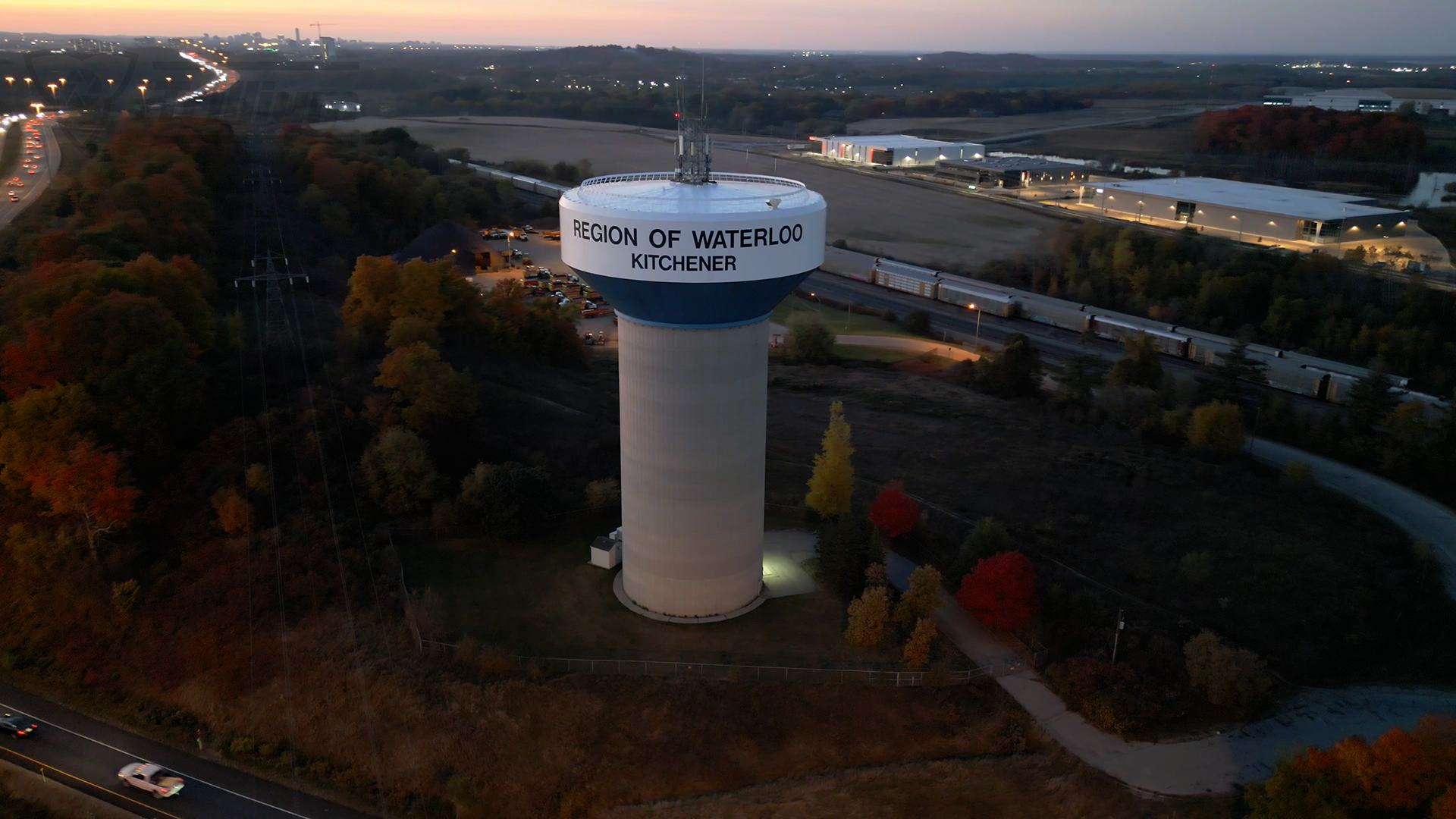
Now compare that to Waterloo Region. Kitchener’s Parks by-law (Chapter 270) contains no restriction on drones, RC aircraft, or model aircraft of any kind. Guelph’s Public Space Use by-law lands in the same place — no mention of drones, RC devices, remote-controlled aircraft, or model airplanes anywhere in it. Two cities, same outcome: no specific municipal restriction on the books.
Cambridge, in the same region, is different. Its Parks by-law restricts practising archery or operating “power model aircraft” to areas that are specifically set aside and signed for that purpose. The term “power model aircraft” is never defined anywhere in the by-law. It’s language that predates consumer drones by decades, written with traditional gas or electric RC planes in mind — and nothing in the text tells you whether a drone counts. It might. A bylaw officer could reasonably read “power model aircraft” as covering any powered, remotely operated aircraft, drones included. Or it might not — with no definition to anchor it either way, that’s genuinely open to interpretation.
The practical takeaway isn’t which reading of Cambridge’s wording is “correct.” It’s that Kitchener, Guelph, and Cambridge sit in the same region, and two of the three have no restriction while the third has vague, undefined wording that might apply. The only way to know what governs a specific site is to check that municipality’s actual by-law text — not assume based on the region, a neighbouring city, or what federal rules already require.
Why This Matters for Commercial Work
None of these layers show up if you only check Transport Canada’s rules. A flight can be fully compliant federally — registered aircraft, Advanced Pilot Certificate, NAV CANADA authorization in hand — and still be a problem because of where it takes off from on the ground.
For survey and mapping work specifically, that risk is higher, not lower, than for casual flying: the areas that matter most for this kind of work — floodplains, shorelines, stormwater ponds, and municipal infrastructure — are disproportionately likely to sit on conservation authority land, where the region-specific rules above actually apply.
As commercial operators flying for Trillium Imaging, checking local rules is as routine as staying compliant with Transport Canada. Before we finalize a flight plan, we confirm what the municipal code and, where relevant, the conservation authority say about that specific site — not just what the federal rules require. We fly under Advanced Pilot Certificates, which cover the higher-risk operations most professional survey work involves.
If you’re planning a project that involves drone-based mapping, bathymetric survey, or inspection work anywhere in Ontario, book a consultation and we’ll walk through what applies to your specific site.