
Our Services
What We Offer
01
Surveying & Mapping
High-precision topographic surveys, orthomosaic maps, and 3D terrain models for civil design, site planning, and construction documentation.
Read More02
Bathymetric Surveys
Accurate underwater mapping of stormwater ponds, retention basins, and reservoirs for sediment monitoring and environmental compliance.
Read More03
Volumetric Analysis
Precise earthwork calculations, stockpile measurements, and cut-and-fill analysis for construction progress tracking and material management.
Read More04
Infrastructure Inspections
High-resolution visual and thermal imaging of rooftops, bridges, towers, and industrial assets — safely documenting conditions without disruption.
Read More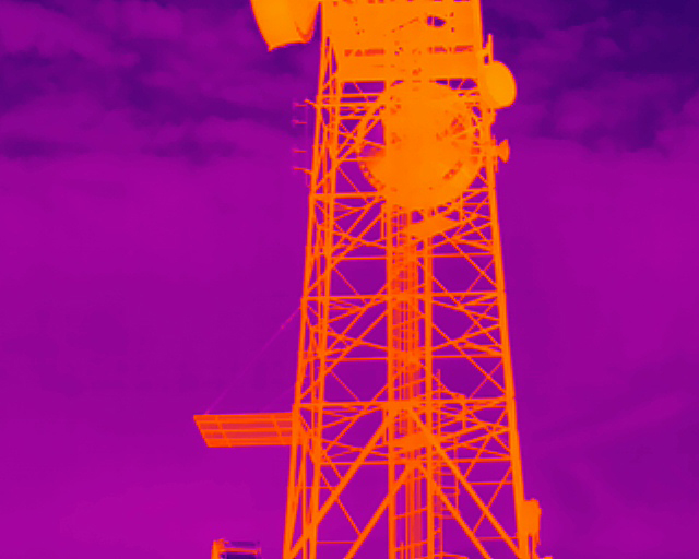


Partners, Training & Regulatory Authorities
Industry & Regulatory
Training & Certification