
Discover
Bathymetric Surveys in Southern Ontario

Bathymetric Surveys in Southern Ontario
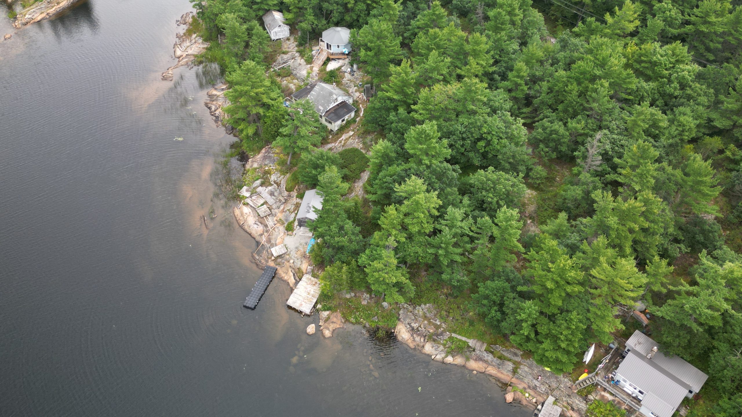
At Trillium Imaging Services, we deliver high-resolution bathymetric surveys using drone-deployed sonar systems, giving engineers, municipalities, and environmental professionals the detailed underwater data they need — quickly, safely, and cost-effectively.
Whether you’re assessing a stormwater pond, planning a dredging operation, or monitoring sediment buildup, our bathymetric surveys provide the reliable depth and terrain data required for informed decision-making:
What We Offer
Drone-Based Bathymetric Surveys
Rapid deployment using advanced sonar-equipped drones — no boats or divers required.
High-Resolution Depth Mapping
Capture precise data on lakebeds, stormwater ponds, reservoirs, and other water bodies.
Topographic Models & Visual Reports
Receive easy-to-interpret 2D and 3D visualizations, contour maps, and digital elevation models (DEMs).
Integrated Aerial + Bathymetric Services
Combine aerial site mapping with subsurface bathymetric data for a complete surface and underwater profile.

Who Uses Our Bathymetric Services?
Municipalities & Public Works
For infrastructure inspection, stormwater management, and flood mitigation.
Environmental Consultants
For habitat monitoring, sediment tracking, and regulatory assessments.
Civil Engineers & Developers
For bridge construction, shoreline development, and site planning near water bodies.
Conservation Authorities
For ongoing watershed management, water quality studies, and aquatic habitat modeling.
Mining & Aggregate Operations
For pit lake depth monitoring and compliance with environmental regulations.
Equipment & Capabilities
Drone Deployed Sonar
High-accuracy sonar systems mounted on reliable drone platforms (DJI M300, M350, M400).
GIS-Compatible Data Outputs
Receive data in your preferred format, compatible with major CAD, GIS, and modeling platforms.
Certified Advanced Drone Pilots
All flights are conducted by certified professionals in full compliance with Canadian aviation regulations.


Sample Use Cases
Mapping stormwater retention ponds before and after maintenance
Monitoring sediment buildup in conservation areas
Pre-construction surveys for bridge or culvert projects
Safe, shallow water depth measurements in restricted access zones
Why Choose Trillium?
Fast turnaround times
Detailed, engineer-ready reports
Fully insured and Transport Canada compliant
Experienced team with proven results across Ontario


Serving Southern Ontario
We proudly provide bathymetric measurement services across:
Cambridge, Kitchener, Waterloo, Hamilton, Brantford, Guelph, and surrounding areas.
Ready to Get Started?
Trillium Imaging supports engineering firms, environmental consultants, and construction managers with drone-based surveys, bathymetric mapping, thermal inspections, and volumetric analysis across Southern Ontario. Contact us to discuss how our geospatial services can support your project goals.
Partners, Training & Regulatory Authorities
Industry & Regulatory
Training & Certification