
Discover
Surveying & Mapping in Southern Ontario

Surveying & Mapping in Southern Ontario
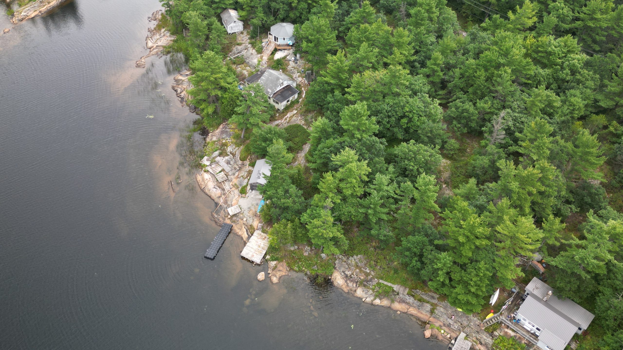
At Trillium Imaging Services, we deliver high-accuracy aerial surveys and topographic mapping using advanced drone platforms, LiDAR scanning, and photogrammetry, giving engineers, developers, and site managers the precise spatial data they need — quickly, safely, and cost-effectively. Whether you’re designing a stormwater system, planning a subdivision, or documenting site conditions for a regulatory submission, our drone-based surveys provide the reliable geospatial data required for informed decision-making.
What We Offer
Drone-Based Topographic Surveys Rapid aerial data capture across large or difficult-to-access sites using both LiDAR and photogrammetry — no ground crew required for most applications.
Orthomosaic Mapping Georeferenced, high-resolution aerial imagery stitched into accurate 2D maps suitable for CAD and GIS workflows.
LiDAR Point Cloud Capture High-density 3D point clouds collected via drone-mounted LiDAR sensors, delivering precise terrain data even through vegetation and complex surfaces.
3D Terrain & Surface Models Generate detailed digital terrain models (DTMs) and digital surface models (DSMs) for grading, drainage design, and site planning.
CAD & GIS-Compatible Deliverables All outputs are delivered in your preferred format, compatible with AutoCAD, Civil 3D, ArcGIS, and other major platforms.

Who Uses Our Surveying and Mapping Services?
Civil Engineers & Design Firms For topographic base maps, grading plans, and site design on residential, commercial, and infrastructure projects.
Land Developers & Builders For pre-development site assessments, lot layout planning, and construction-ready terrain data.
Municipal & Public Works Departments For road design, drainage planning, asset inventory, and infrastructure upgrades.
Environmental Consultants For site characterization, slope analysis, and terrain modeling in support of environmental assessments.
Construction Managers For progress monitoring, as-built documentation, and site condition records throughout the construction lifecycle.
Equipment & Capabilities
Industry-Leading Drone Platforms Professional-grade drone platforms with high payload capacity and precision flight control, supporting both LiDAR and photogrammetry sensor packages for consistent, repeatable data capture.
LiDAR & Photogrammetry Sensors Drone-mounted LiDAR scanners and high-resolution RGB cameras give us the flexibility to choose the right data capture method for every project and site condition.
RTK GPS & Ground Control Points We use RTK positioning systems combined with precisely surveyed ground control points (GCPs) to achieve centimetre-level spatial accuracy across every deliverable.
GIS-Compatible Data Outputs Receive data in your preferred format — GeoTIFF, LAS, DXF, SHP, or PDF — ready for immediate use in your workflow.
Certified Advanced Drone Pilots All flights are conducted by Transport Canada certified professionals in full compliance with Canadian aviation regulations.


Sample Use Cases
Pre-construction topographic surveys for subdivision and site grading design
Base mapping for municipal road reconstruction and drainage projects
As-built aerial documentation for active construction sites
LiDAR-based terrain modeling through dense vegetation for environmental assessments
Slope and terrain analysis for stormwater management design
Rapid site assessments for geotechnical and environmental consultants
Why Choose Trillium?
Fast turnaround times
Detailed, engineer-ready reports
Fully insured and Transport Canada compliant
Experienced team with proven results across Ontario


Serving Southern Ontario
We proudly provide bathymetric measurement services across:
Cambridge, Kitchener, Waterloo, Hamilton, Brantford, Guelph, and surrounding areas.
Ready to Get Started?
Trillium Imaging supports engineering firms, environmental consultants, and construction managers with drone-based surveys, bathymetric mapping, thermal inspections, and volumetric analysis across Southern Ontario. Contact us to discuss how our geospatial services can support your project goals.
Partners, Training & Regulatory Authorities
Industry & Regulatory
Training & Certification