

Some of the best tests of a new capability aren’t client jobs — they’re the projects you take on because you’re curious whether the technology can actually do what you think it can. That’s how this one started.
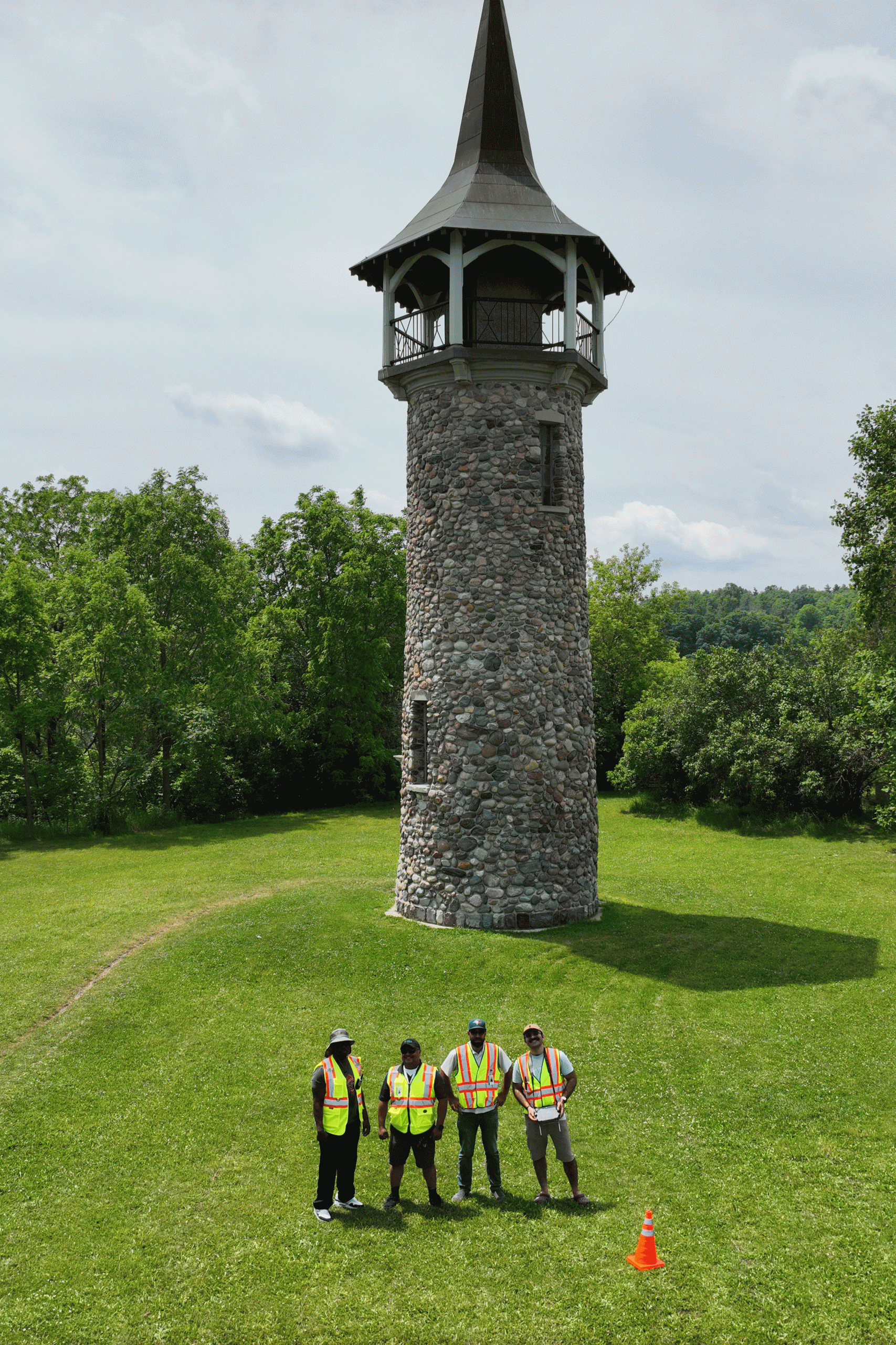
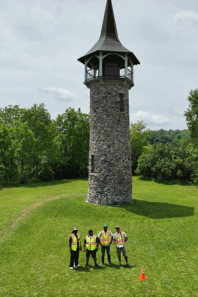
The Waterloo Pioneer Memorial Tower has stood on the banks of the Grand River in Kitchener since 1926, built to commemorate the Pennsylvania-German pioneers who settled the Waterloo region. At 18.9 metres tall, with a fieldstone shaft and a tapered copper roof topped by a Conestoga wagon weather vane, it’s a Classified Federal Heritage Building — and one we’d always found interesting to look at. So we decided to see what it would take to turn it into a full 3D digital model.
No client, no commission. Just an unpaid proof-of-concept to test drone-based photogrammetry as a potential new service line.
Why This Tower Was a Good Test Case
Heritage structures make demanding subjects for photogrammetry. They’re often full of fine detail — stonework, rooflines, ornamentation — and much of that detail sits well out of reach of a ground-level camera or a person on foot. The tower’s observation deck, for instance, isn’t open to casual visitors; touring the interior requires booking ahead through the site’s managing body. That inaccessibility is exactly the kind of problem drone capture is well suited to solving: it gets a camera to angles and heights that would otherwise need scaffolding or a lift.
That’s a pattern seen across the heritage-documentation industry generally — conservation-focused drone operators have pointed out that historic sites often have intricate architectural details and hard-to-reach areas that make manual inspection difficult, and that photogrammetry lets those details be examined without scaffolding or repeated site visits.
The Capture
We flew the site with a DJI Matrice 4E, mostly on automated flight paths to get consistent, even coverage of the tower’s surfaces. But automated paths alone weren’t enough. On a few earlier attempts, we found gaps in the resulting data — sections of the tower that just hadn’t been captured properly from a standard orbit.
The fix was manual flying for the trickier angles: the underside of the roof overhang and the peak of the tower both needed hand-flown passes to make sure the camera could actually see up and into those areas. Automated grid or orbit paths are good at covering a structure’s broad surfaces, but they don’t always account for undercuts, overhangs, or steep peaks — a drone operator has to fly those bits deliberately.
By the day we captured the full dataset, we came away with roughly 2,000 photos and about 30 minutes of flight time.
Processing and Output
The photos were processed in Agisoft Metashape, producing both a dense point cloud and a fully textured 3D mesh of the tower. We also put together a short video — a full rotation around the finished model — to show the result end to end.
The kind of output this produces is sometimes called a digital twin: a detailed virtual replica built from an ordinary drone flight and photogrammetry software, capable of preserving fine detail that a handful of photos or a written description never could.
What We Took Away From It
The mesh and point cloud came out with a strong level of detail — enough to make the case that photogrammetry-based 3D modelling is something we can offer as a real service, not just a technical curiosity. The main lesson wasn’t really about the software or the drone; it was about flight planning. Automated paths get you most of the way, but capturing a structure completely means knowing where automation falls short and being ready to fly those spots manually.
If you’re a municipality, heritage group, or property owner curious about what a 3D model of a structure in your care could look like, get in touch — we’d be glad to talk through it.
Final result of 2000+ images 3D model of Pioneer Tower in Kitchener Ontario.