Discover
Elevate Your Space with Cutting-Edge Imaging Services
3D Modeling of Any Structure — Inside & Out
We provide cost-efficient, photorealistic 3D modeling using overlapping aerial and ground photos—ideal for exteriors, interiors, and complex spaces. Our models are CAD-compatible and suitable for any type of structure, including residential, commercial, industrial, and public buildings. These models support:
– Renovation planning and design visualization
– Virtual tours and stakeholder engagement
– Accessibility and safety assessments
– Space documentation and facility planning
Bathymetric Surveys
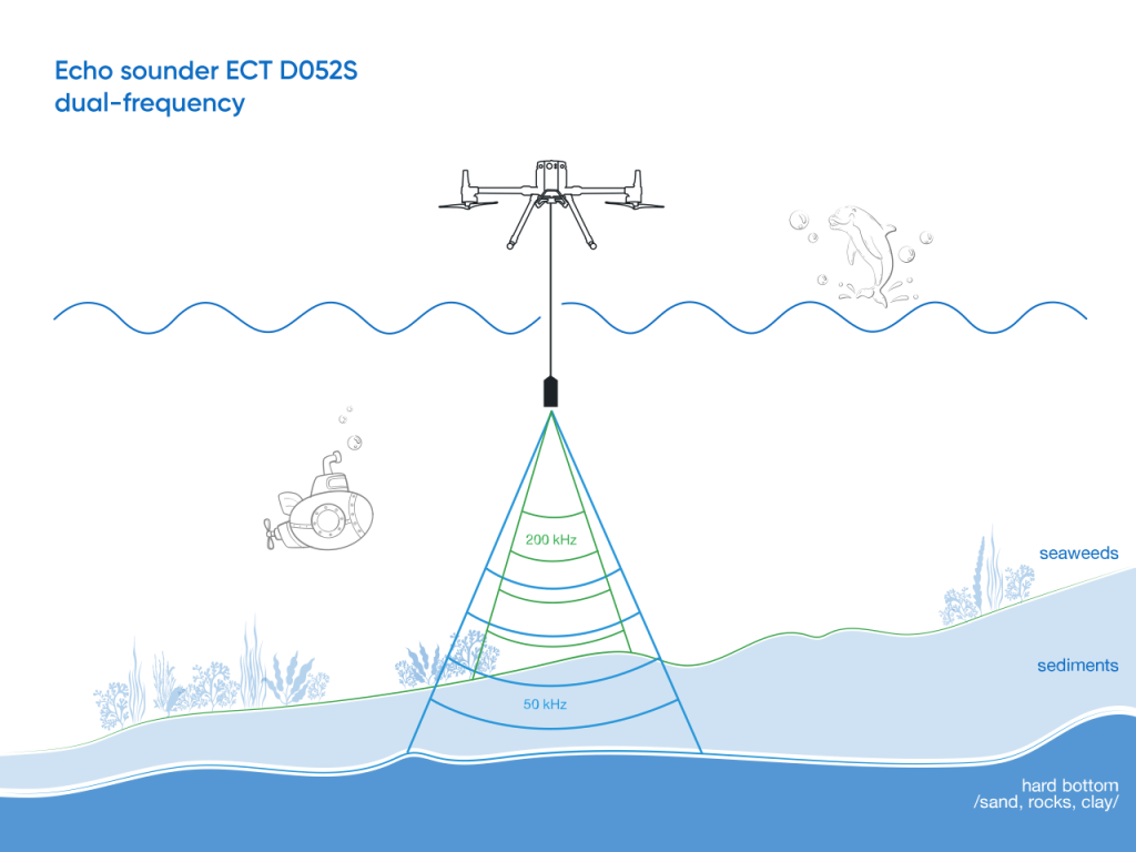
Immerse your audience in interactive virtual tours thatWe offer detailed bathymetric mapping of stormwater ponds using sonar and drone-based aerial surveys. Our data delivers accurate depth profiles, sediment build-up analysis, and water volume calculations. Essential for:
– Asset maintenance planning
– Flood mitigation
– MOECC compliance and capacity verification
– Sediment dredging schedules
Drone-Based Volumetric Surveys
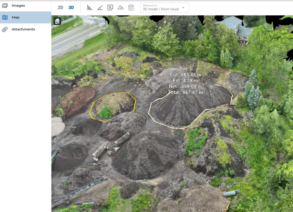
We deliver accurate, cost-effective volumetric calculations using drone-captured imagery and photogrammetry. Ideal for stockpiles, earthworks, and material yards, our models help clients track and manage material volumes with confidence. These calculations support:
– Inventory management and material tracking
– Cut-and-fill analysis for construction and grading
– Regulatory compliance and reporting
– Project planning and cost estimation
Surveying & Mapping
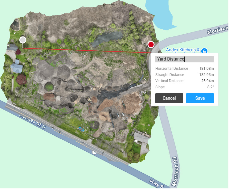
Accurate and deUsing RTK GNSS, aerial photogrammetry, and LiDAR, we provide high-resolution topographic surveys, parcel mapping, and infrastructure overlays. Our deliverables integrate seamlessly with GIS systems and municipal CAD platforms for:
– Road and utility planning
– Parkland and trail mapping
– Site planning and zoning updates
Structural & Visual Inspections
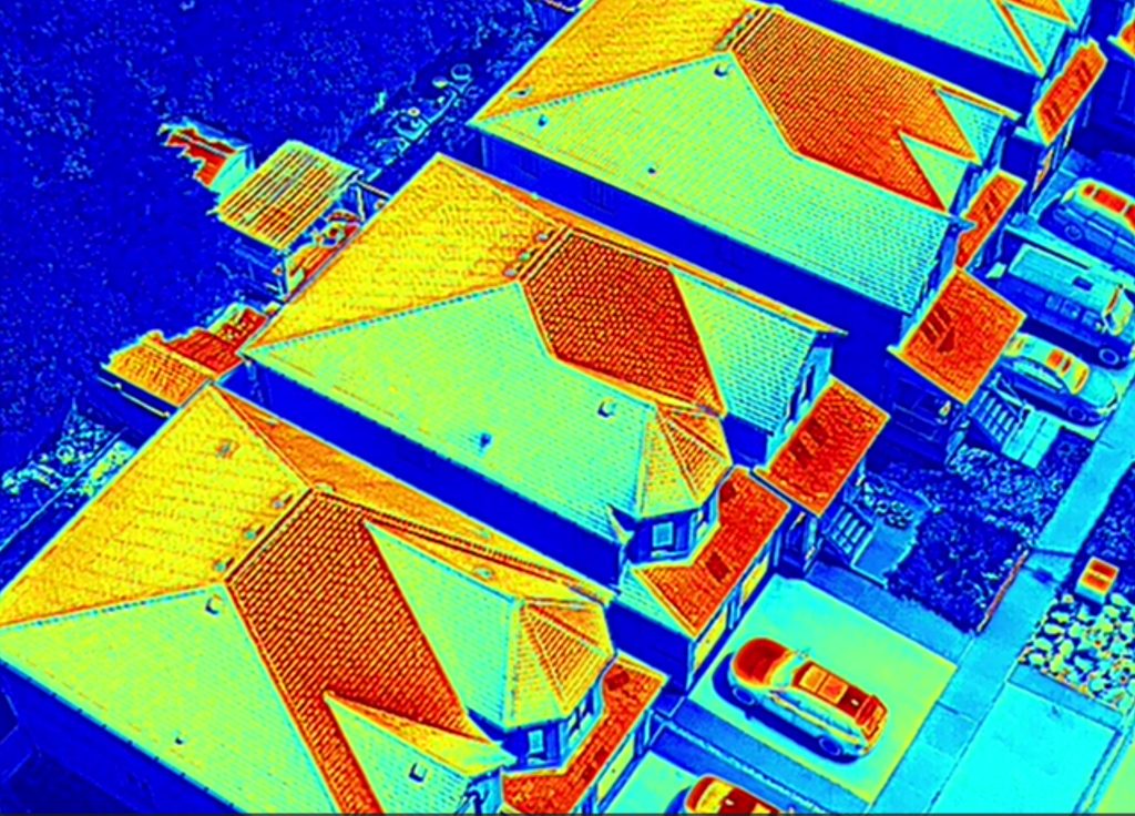
Using drones and high-resolution imaging, we perform inspections on bridges, roofs, towers, and water infrastructure. Our visual data eliminates the need for costly scaffolding or closures and includes:
– Close-up structural imagery
– Thermal anomaly detection
– Visual reports for insurance or engineering review
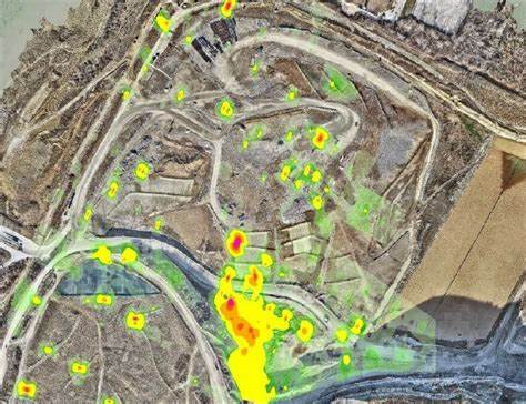
Methane Cloud Mapping
We offer methane detection and visualization using advanced drone-mounted gas sensors and optical gas imaging (OGI). This service is ideal for:
– Landfill gas monitoring
– Environmental risk assessment
– Regulatory reporting and compliance
Drone Detection (Coming Soon)
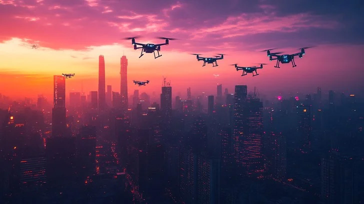
We offer drone detection and localization using cutting-edge RF scanning and aerial monitoring technologies. This service is ideal for:
– Event security and airspace control
– Protection of sensitive or restricted sites
– Privacy assurance for high-profile gatherings
– Threat detection and situational awareness
Let’s Talk About Your Project
From aerial site surveys and bathymetric mapping to drone inspections, volumetric calculations, and high-impact real estate visuals, Trillium Imaging delivers the data and imagery you need to move forward with confidence. Contact us today to explore tailored imaging solutions for your commercial, industrial, or property marketing goals.
